Spring Lake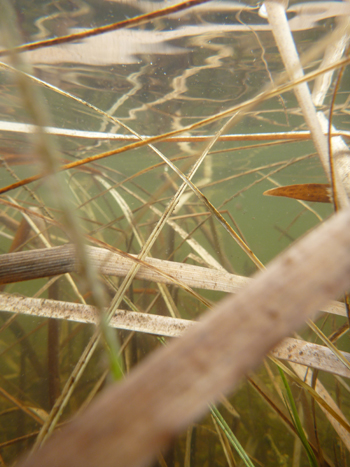
Tikibi Zaagigan
Description and Background
Spring Lake has two basins, the south and north arm; these arms are separated by a road and an educational wetland boardwalk and park. This lake is located adjacent to M-119, a highly used road going from the City of Petoskey to Harbor Springs. On the north side of the south arm there is a steep slope that is forested and on top of this slope are condominiums. There is only one residential home on the north arm. These lake arms are surrounded by infrastructure such as roads, commercial buildings, condominiums, or park facilities.
Bear Creek Township, who owns the properties on these lake arms, began stocking fish in the south arm in May of 2007. At that time, the stocked species were hybrid sunfish, largemouth bass, and fathead minnows. No minutes from the Parks and Recreation Committee Meetings show additional stocking, although the matter was discussed in 2012.
Both arms are shallow in depth, with the south arm having a surface area of 6.1 acres and the north arm having a surface area of 11.22 acres. The water level is controlled by a water structure between the two arms to prevent flooding. There is one monitoring location per arm. SGL1 is in the south arm and SGL2 is in the north arm.
Tribal Uses and Attainment
The primary Tribal use on Spring Lake (SGL1 & 2) is IAW. Other Tribal uses applied are, WF and PSC (May through October). IAW and WF is fully supported at this time but needs to be re-evaluated every two years to detect whether adverse trends for chloride and conductivity continue as well as potential for winter fish kills. PSC and PC are not recommended but are uses applied to all during the summer season.
LEGEND
DO Dissolved Oxygen
Respiration for fish, other aquatic organisms
TEMP Temperature
General aquatic life support and reproduction
COND Conductivity
General aquatic life support, dissolved solids indicator
CHLOR Chlorides
General life support, salinity indicator, drinking water pollutant
PH Potential Hydrogen Ion Concentration
Acidity/alkalinity indicator, drinking water pollutant
TP Total Phosphorous
Major algae nutrient, fertilizer/manure runoff indicator
TN Total Nitrogen
Major algae nutrient, drinking water pollutant, fertilizer/manure runoff indicator
CHL-A Chlorophyll-a
Algae concentration indicator
HAB Habitat
Instream and riparian structure to support life cycles of fish and other organisms
MAC Macroinvertebrates
Indicator of water quality based on the diversity of pollution tolerant and intolerant
aquatic insects and non-insects that are visible to the naked eye and do not have a backbone
TSS Total Suspended Solids
Indicator of aquatic life support, oxygen levels
FQA Floristic Quality Assessments
Indicates quality of wetland based on the plant community present
CONDITION INDICATORS
Poor Fair Good Very Good